
Everything you need to know amid talk of another heatwave in Sussex and Surrey

Amid talk of another heatwave returning to Sussex and Surrey, forecasters point to a fresh spell of very warm and settled weather developing across southern England.
According to the latest outlook from the Met Office, high pressure is becoming increasingly dominant through early July, bringing a run of dry, sunny and gradually hotter days for much of England and Wales. While temperatures have briefly eased after recent extremes, the pattern is now shifting back towards warmth building from the south.
For Sussex and Surrey, forecasts show dry conditions continuing through the weekend with plenty of sunshine, patchy cloud and temperatures edging into the ‘very warm’ category. Nights remain relatively comfortable, but daytime heating is becoming more pronounced as each day passes.
By early next week, forecasters expect the warmth to intensify further. The Met Office’s longer-range guidance indicates that temperatures could reach the high 20s widely, with a chance of low 30s in parts of the South East. However, they stress that while heatwave conditions are possible in places, the upcoming spell is unlikely to match the intensity, humidity, or sustained extremes seen in the most severe recent heat events.
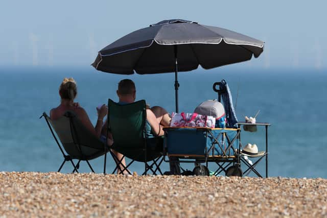

A recent Met Office outlook noted that this period is likely to feel ‘warm or very warm for many’, with high pressure extending from the Azores bringing more settled summer conditions. It also highlighted that while hotter spells are becoming more likely, the strongest heat is expected to remain below recent record-breaking levels.
The emerging picture is echoed in BBC Weather forecasts, which point to a continuation of largely dry and sunny conditions across southern counties, with temperatures trending upward through the weekend and into next week. The emphasis is on a steady build in warmth rather than a sudden or extreme spike.
If conditions develop as expected, Sussex and Surrey are likely to see a classic early-summer hot spell: long sunny periods, hazy skies at times, light winds, and increasingly warm afternoons. Coastal areas may be tempered slightly by sea breezes, but inland parts of Surrey in particular could feel significantly hotter.
Looking further ahead, the broader pattern suggests high pressure may continue to dominate much of July, meaning further warm or hot spells remain possible. However, occasional interruptions from showers or thunderstorms cannot be ruled out, especially later in the month.
For now, the message from forecasters is consistent: summer is reasserting itself across the South East, but without the same level of extreme heat that has defined the most intense recent spells.
According to the Met Office, England recorded its warmest June on record, with a mean temperature of 17.1°C, surpassing the previous record set in 2025 and standing nearly 3°C above the long-term average.
For the UK, June 2026 provisionally ranks as the second warmest June on record, behind only June 2023. Wales recorded its second warmest, while Scotland and Northern Ireland both saw their joint fourth warmest June since 1884. Met Office Scientist Dr Emily Carlisle said: “June’s high temperatures are part of a broader pattern of warmth during 2026. So far, five of the first six months of the year have recorded mean temperatures at least 1°C above average, with only January seeing below-average temperatures.”
Spring this year was the warmest on record for England and Wales, and the third warmest for the UK, due in part to an exceptionally early and record-breaking heatwave at the end of May.
Met Office scientist Dr Emily Carlisle said: “This June is a clear example of how UK weather can deliver both unsettled conditions and record-breaking heat within the same month. The intensity of the late June heatwave, combined with exceptionally warm nights, has driven England’s warmest June on record for mean temperature, while the UK and Wales recorded their second warmest June on record.
"Coming 50 years after the 1976 heatwave, it also highlights how similar events are now playing out in a warmer climate, with higher temperatures and more widespread impacts than we would have seen in the past.”