
'Risk of thunderstorms' in Sussex and Surrey amid more torrential rainfall

There is a 'risk of thunderstorms' in Sussex and Surrey amid more torrential rainfall, according to the Met Office.
Heavy rain has fallen across the South East on Tuesday (September 2).
Rebekah Hicks, chief meteorologist at the Met Office said: “We’re expecting a band of heavy rain and strong winds to move northeast through the first part of Wednesday, followed by heavy showers and the risk of thunderstorms.
"Some of these could bring hail and gusty winds, particularly in southern areas.
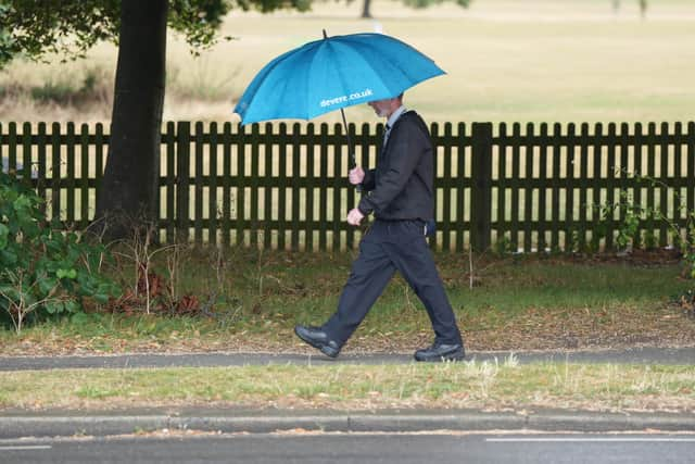

“Of course, the warning coincides with the first school run after the summer holidays for some, meaning a wet and potentially disruptive start to the day for many.”
Rainfall totals are expected to reach 20-30mm widely, with 40-60mm possible in some areas over a six-to-nine-hour period, the Met Office said. Highs of 20-22°C are expected in the south and southeast, with ‘temperatures widely in the high teens further north’.
Conditions will ‘gradually improve’ from the southwest through Wednesday afternoon as ‘showers become more isolated’.
The Met Office has forecast ‘heavier showers and a risk of thunder’ during Tuesday afternoon. It it expected to be ‘breezy along coasts’.
The London & South East England weather forecast reads: “Showers will soon fade to give a mostly fine and dry evening. It'll stay rather cloudy though, with prolonged rain, occasionally heavy, spreading east before dawn. Windy, especially along coasts. Minimum temperature 14 °C.”
Wednesday is expected to be ‘windy with rain’ and ‘heavy at times’ – spreading northeast early in the morning.
"Rain clearing to sunny spells and heavy, blustery and likely thundery showers in the afternoon,” the Met Office added.
"Gales over coasts. Maximum temperature 21 °C.
“Sunny spells and showers on Thursday, occasionally heavy. Drier, less windy on Friday, with bright or sunny intervals. A fine day on Saturday, with plenty of sunshine though breezy later.”
A yellow warning for rain is in place for Hampshire and West Berkshire but not Sussex or Surrey. The warning – which runs from 12am until 2pm on Wednesday – also affects South West England and Wales.
The Met Office’s forecast for Saturday through to Monday reads: “Changeable weather conditions are expected across the UK during this period with low pressure systems tending to dominate the overall pattern.
"This will mean showers or longer spells of rain will affect much of the UK at times. Some heavy rain or showers are expected in places, most often in the west.
"Thunderstorms and hail are also possible, as are some spells of strong winds if any deep areas of low pressure form in the vicinity of the UK.
"Some short-lived spells of drier and more settled weather are also possible at times, especially early and again late in the period, when they may last a little longer. Temperatures will likely be close to average or slightly below overall, but may rise above at times in any drier, sunnier spells.”
Between Tuesday, September 16 and Tuesday, September 30, low pressure is ‘likely to dominate much of this period’, bringing ‘changeable weather conditions’ with showers or some longer spells of rain at times.
The Met Office added: “There will likely be some drier, more settled interludes, particularly at the start of the period. Temperatures are likely to be close to average, perhaps turning warmer than average later in the period.”