
Sussex and Surrey heatwave: Upgraded alert issued but how how will it get?

A heat-health alert covering Sussex and Surrey has been upgraded from yellow to amber, with temperatures set to climb once again.
The South East of England is expected to see temperatures reach the mid-30s by Wednesday (July 29).
The amber alert, issued by the UK Health Security Agency (UKHSA), will come into effect at 9am on Wednesday, and remain in place until 9am on Thursday, July 30.
The UKHSA says significant impacts are likely across health and social care services due to the high temperatures.
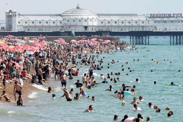

It warns there could be a rise in deaths, particularly among people aged 65 and over and those with existing health conditions, while younger age groups may also be affected.
There is also expected to be increased demand on health and social care services, while internal temperatures in hospitals, care homes and other care settings may exceed recommended thresholds for clinical risk assessment.
The heat could affect the ability of the workforce to deliver services, while overheating indoor environments could increase risks for vulnerable people living independently and those in community and care settings.
Other potential impacts include difficulties managing medicines, staffing issues caused by external factors such as transport, and increased demand for power potentially exceeding capacity.
The UKHSA also warns that other sectors may begin to experience impacts, including travel delays.
Water-related incidents may also increase, with the agency highlighting the risks of cold-water shock and drowning.
The amber alert comes as high pressure is expected to bring dry, fine and increasingly warm weather to much of the UK this week.
The South East is forecast to see some of the highest temperatures, with the potential for heatwave conditions to be met in some areas by Thursday.
For Sussex, the latest forecast says tonight (Monday) will start partly cloudy before skies become mostly clear later.
Tuesday is expected to be dry and very warm, with sunny spells and some patchy cloud.
The hottest day of the week is forecast to be Wednesday, when Sussex will see sunny and hot conditions, with temperatures reaching the low 30s and locally the mid-30s.
Thursday is expected to start dry with plenty of sunshine, although cloud will push in from the west during the afternoon and temperatures will become significantly cooler.
Friday is forecast to be mostly dry and warm, with sunny spells and some areas of cloud.
The Met Office said Tuesday could see temperatures in the South East widely reach 29C to 30C, before the peak of the heat arrives on Wednesday, when maximum temperatures of 35C are possible across southeastern England.
Thursday will mark the start of a gradual transition to cooler conditions for much of the UK, although the South East is expected to hold onto the heat for longer.
Temperatures in the region could reach around 29C, potentially allowing some parts of the South East to meet the criteria for an official heatwave.
The Met Office said those further northwest will experience more unsettled weather, with cloud, rain and showers expected at times.
Met Office Deputy Chief Forecaster Gregory Wolverson said: “This is a short-lived spell of heat, but temperatures will climb quickly through the first half of the week, particularly in the southeast.
“By Wednesday, some areas could see temperatures in the mid-30°Cs, and while the heat will not be widespread across the whole of the UK, it will be enough for parts of the southeast to likely meet official heatwave criteria by Thursday.
"Elsewhere, the weather will be more changeable, and the change to cooler, more unsettled conditions will arrive sooner from the north and west, with a mix of sunshine and showers. Across northern areas, it is possible there will be heavier showers with a small risk of isolated thunderstorms through the week.”
The latest amber warning follows a series of heat-health alerts issued across the region this summer.