
Sussex and Surrey weather: How long will the sun shine and how hot will it get?

Here is the weather forecast for the weeks ahead in Sussex and Surrey.
Spring has brought an unusual amount of dry weather across most of the UK, with most areas seeing far less than their average rainfall.
According to the Met Office ‘this isn’t entirely unprecedented’ but the persistence of these dry conditions has ‘sparked curiosity’ about what’s behind this unusual pattern.
"The main driving factor has been the prevalence of high-pressure,” the national weather and climate service explained.
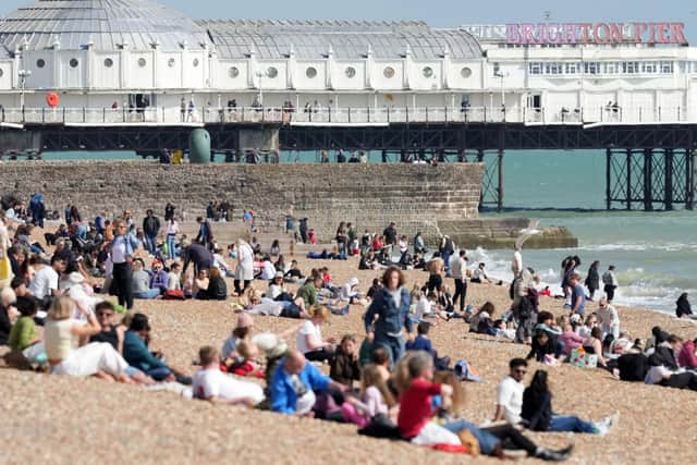

"Large areas of high pressure, often extending from the Azores or mainland Europe, have lingered over or near the UK for extended periods since late February.
"High pressure typically brings settled, dry weather, and while it’s not unusual to see such pressure systems in spring, their persistence this year has been more pronounced than usual.”
There was some rare rainfall on Tuesday (May 13) but the sun returned on Wednesday.
The London & South East England weather forecast reads: “A fine and dry day, with plenty of sunshine. It will feel rather warm inland, but noticeably cooler along coastal districts, with an onshore breeze. Maximum temperature 25 °C.
“Tonight: Staying dry with clear spells at first. Low cloud and patchy mist developing along North Sea coasts will gradually spread inland overnight. Cooler than previous night away from coasts. Breezy. Minimum temperature 6 °C.”
On Thursday, early low cloud and mist will ‘soon retreat to the coasts’, where it ‘may linger in places’, the Met Office said.
It will be otherwise ‘fine and dry’ with ‘warm sunny spells’ but will be ‘rather cool on coasts’. Temperatures will peak at 22 °C.
The Outlook for Friday to Sunday reads: “Staying dry and settled, with sunny spells throughout. Some low cloud along coasts at times. Temperatures above average, but noticeably cooler along coasts, with an onshore breeze.”
The Met Office also provides a UK long range weather forecast.
Between Monday, May 19 and Wednesday, May 28, most of the UK will be ‘fine with sunny spells’ during the first half of this period.
The Met Office added: “A few showers are possible in the southeast at first but otherwise the majority of places will be dry. Temperatures are likely to be above normal for the time of year.
"Into the bank holiday weekend and following week, a change in weather type is expected. More unsettled conditions are likely to develop, with weather systems moving in from the Atlantic.
"This will bring spells of rain to many areas, perhaps heavy at times, with a risk of strong winds in places. Some drier and brighter intervals are likely between systems. Temperatures will probably be near normal or slightly above.”
The forecast for the end of May to mid-June predicts further ‘changeable weather conditions’.
"Spells of wet weather with showers or longer spells of rain are likely to be interspersed with drier, sunnier periods,” the Met Office added.
"Overall, it will likely be wettest in the west and driest in the east. Temperatures will probably average out around normal, although some very warm or hot spells are possible.”